Why photogrammetry?
What makes the difference between photogrammetry and other survey techniques is thestereo vision , which differs from natural stereo vision because it makes us available, "within arms reach", il virtual scale model of the object to be detected, satisfying our natural needs for optimal observation.
Other advantages of photogrammetry are:
- speed of survey , which, in the case ofshooting with the stereometric chamber , reduces to the shutter speed of a photograph;
- remote surveys , ie the possibility of detecting an object, in all its details, without the need to "touch" it. Think of the case of natural disasters o. however, with particularly dangerous findings;
- restitution after some time , that is the possibility of detecting the measures that are needed, with tranquility in the laboratory , even years after the survey and, with theuse of the Internet , away from the documentation center;
Photogrammetry offers the spatial coordinates (x, y, z) of each point represented on the pair of frames. When it is not considered sufficient to detect the measurements directly from the stereo image, the so-called restitution is carried out, that is, a graphic representation, through which only two coordinates are recorded for each point chosen in the photograph:
- x, y for the representation in plan ;
- x, z for representation in elevation.
It goes without saying that the return only makes sense if "finalized", requiring a choice of points according to a specific purpose, with a time (and, therefore, a cost) proportional to the elements represented.
To demonstrate the advantages of photogrammetry , the Superintendent of the Monuments of Potenza (who had requested the surveys) was shown a graphic restitution, made by a volunteer, which also reported architectural details not detectable with the traditional method. The Superintendent was enthusiastic, but demanded the graphic restitution of all the detected monuments.
Unfortunately, the Superintendent escaped that the photogrammetric restitution makes sense only if aimed , so, when it is essential, it must be carried out personally by those interested in the monument, for study or for the restoration project. For obvious reasons, therefore, the request for graphic returns (not finalized) was not granted.
As a demonstration of the crass ignorance , in a subsequent conference, a restoration teacher, involved in the reconstruction, justified the non-use of the photogrammetric surveys, carried out by the Brigade, with the fact that they had been carried out by unqualified personnel in architecture!
The teacher's justification (made without having even taken note of the findings) would have been valid only if the police had also provided for the graphic restitution (what did not happen), but in any case, after years, observing the rebuilt churches, one wonders : considering that the reconstruction was made on "tabula rasa" , what would the costly graphical (unfinalized) returns of the photogrammetric surveys be for?
Turning to aerial photogrammetry , in the case of surveys carried out following a seismic shock, the analysis of the surveys themselves also allows to know the different static behavior of the buildings, in the various shooting areas.
Common sense would like the reconstruction to take place taking into account the causes that determined the collapse and the photogrammetry allows the remote analysis of particularly dangerous areas.
It is well known that damage to a building also depends on the type of soil underlying the building itself: an elastic behavior of the soil considerably reduces the extent of the damage.
It was not difficult to see areas where buildings collapsed, flanked by areas with buildings that remained intact: thanks to the stereoscopic observation of the frames, the areas subject to risk can be safely demarcated.
In a conference, to a representative of the I.G.M. the question was asked in vain: why were no aerial surveys carried out following the earthquake?
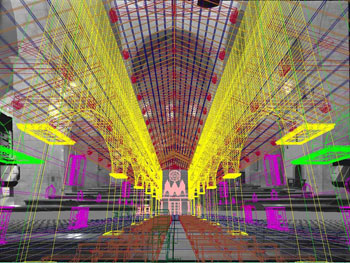
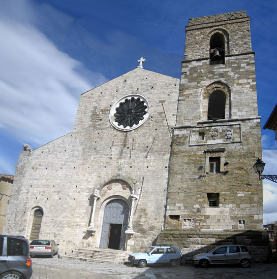
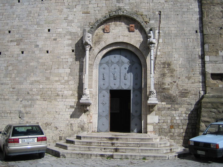
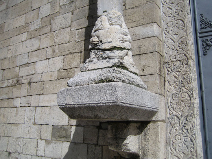
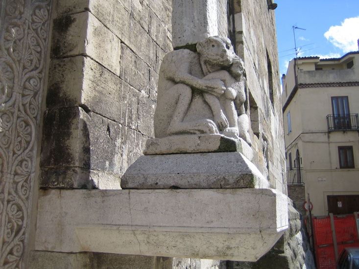
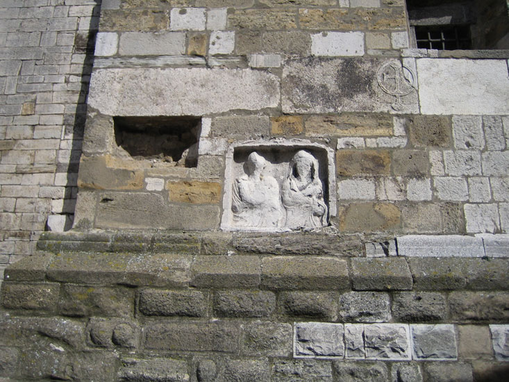
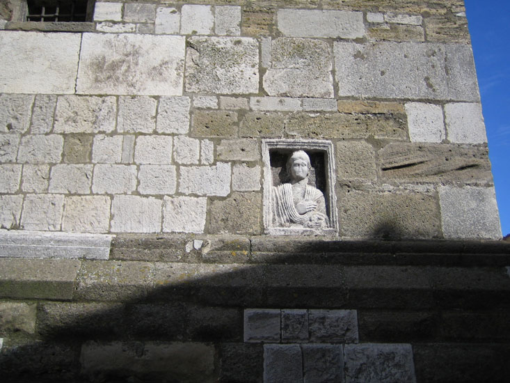
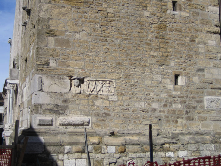
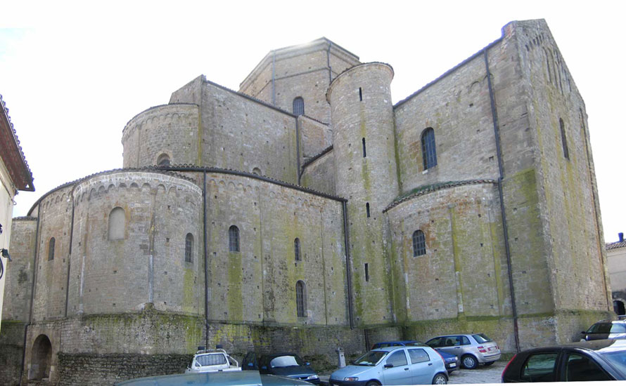
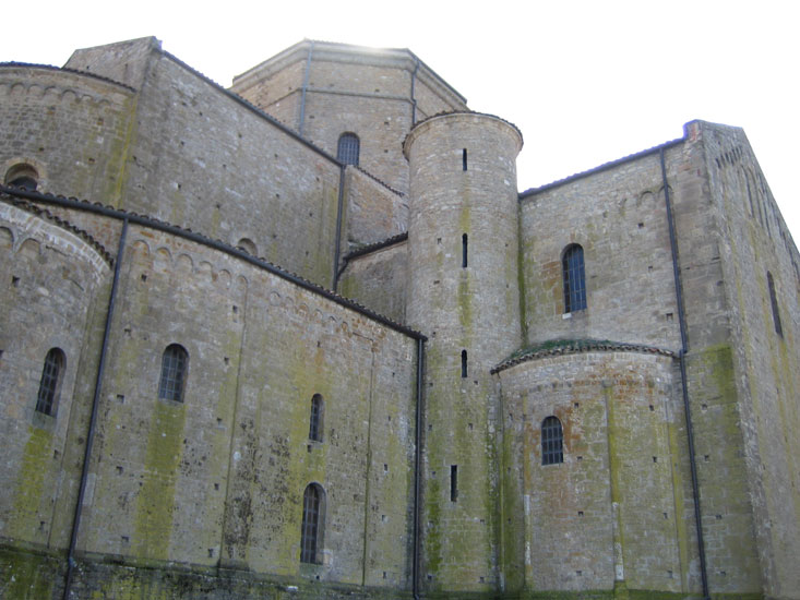
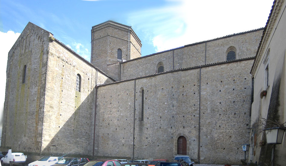
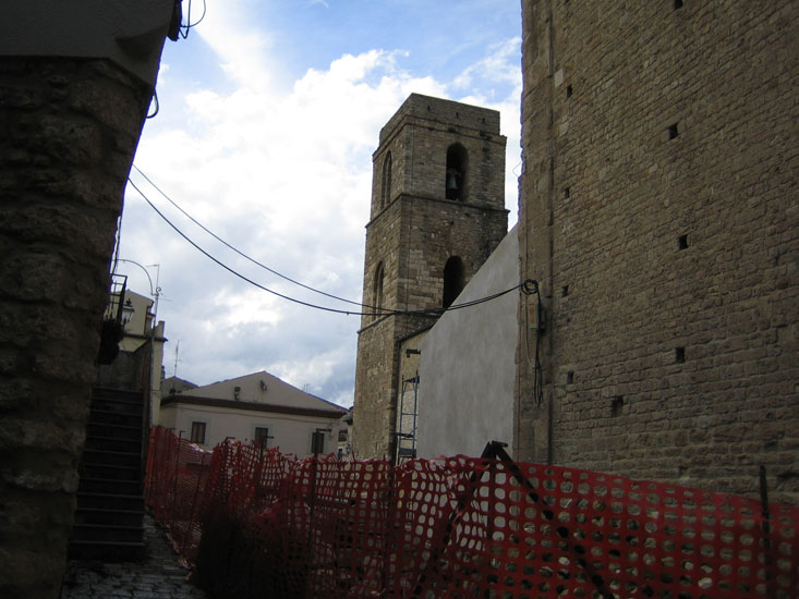
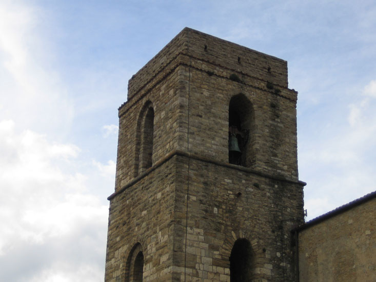
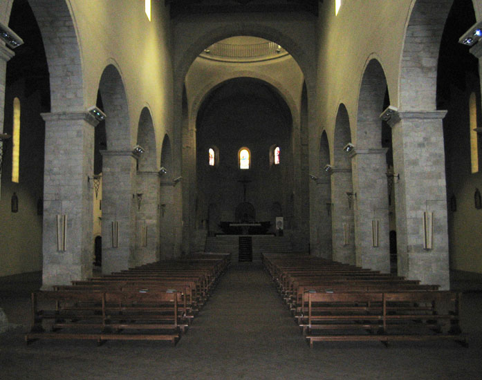
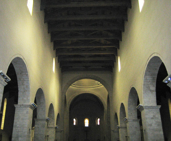
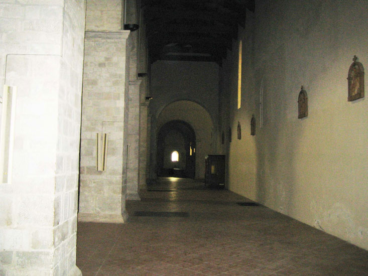
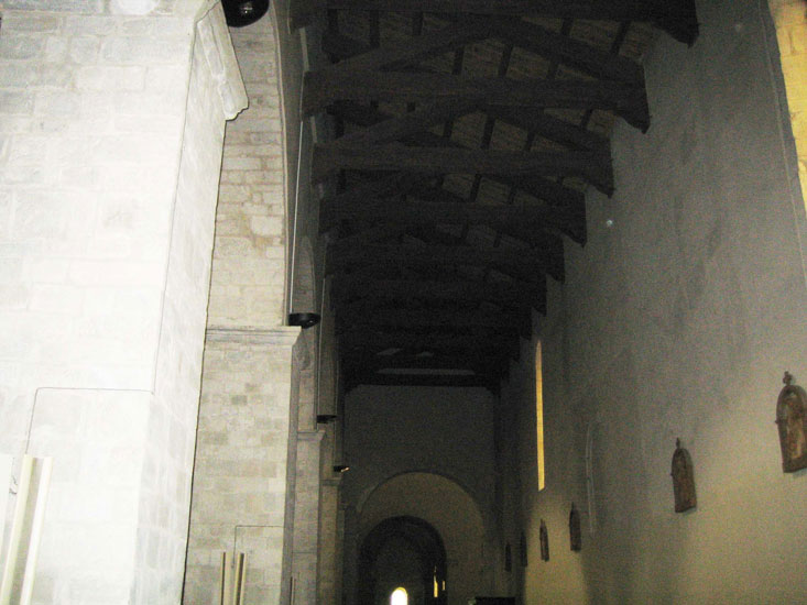
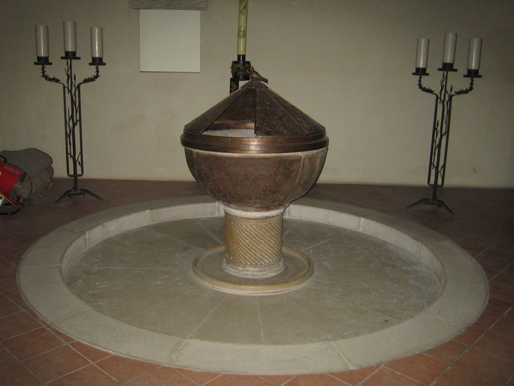
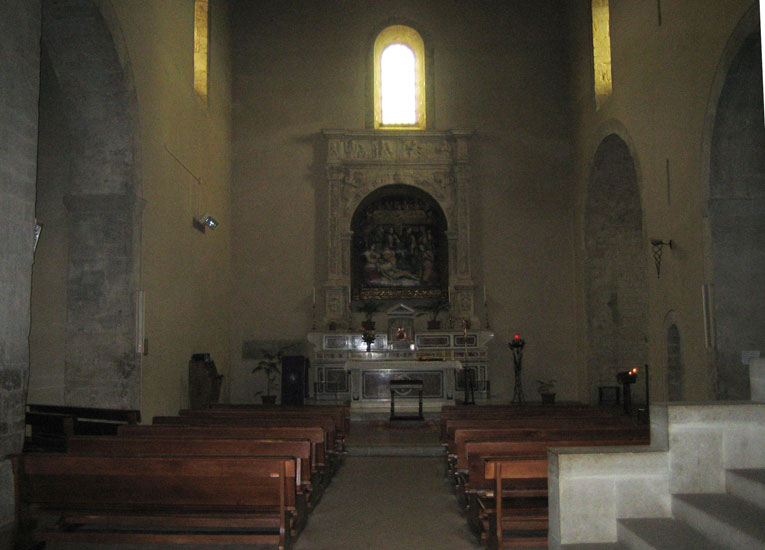
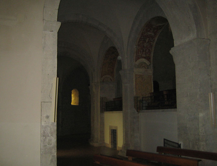
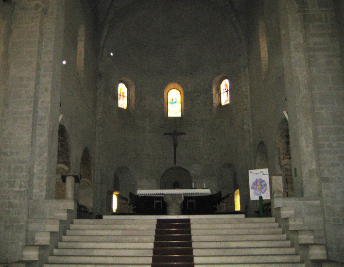
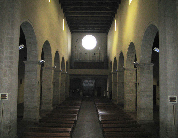
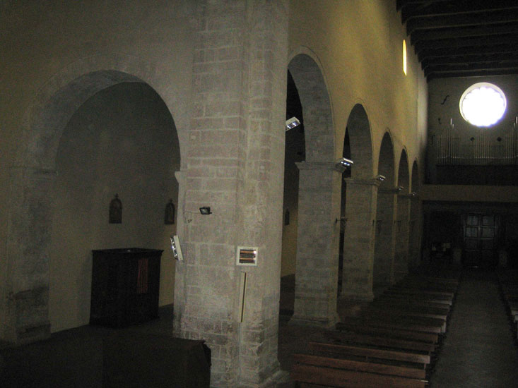
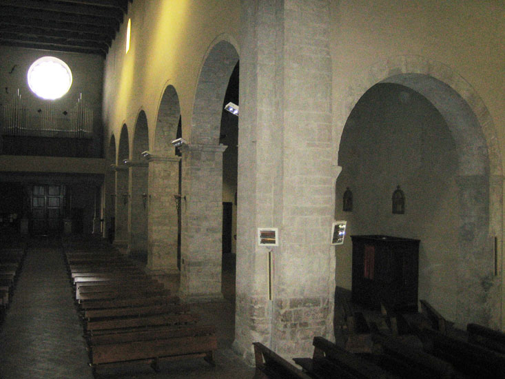
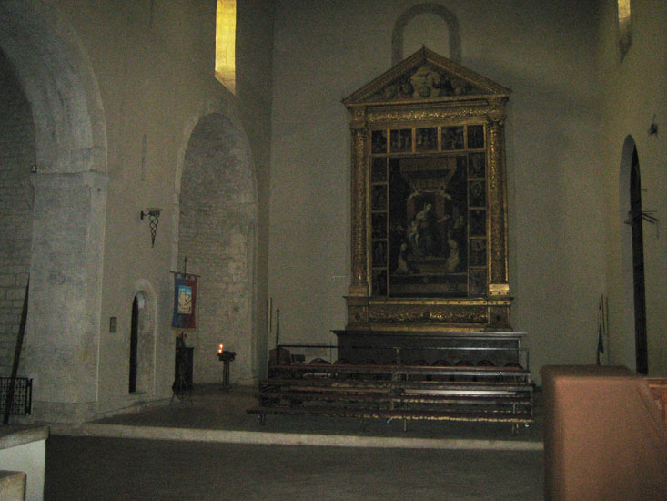
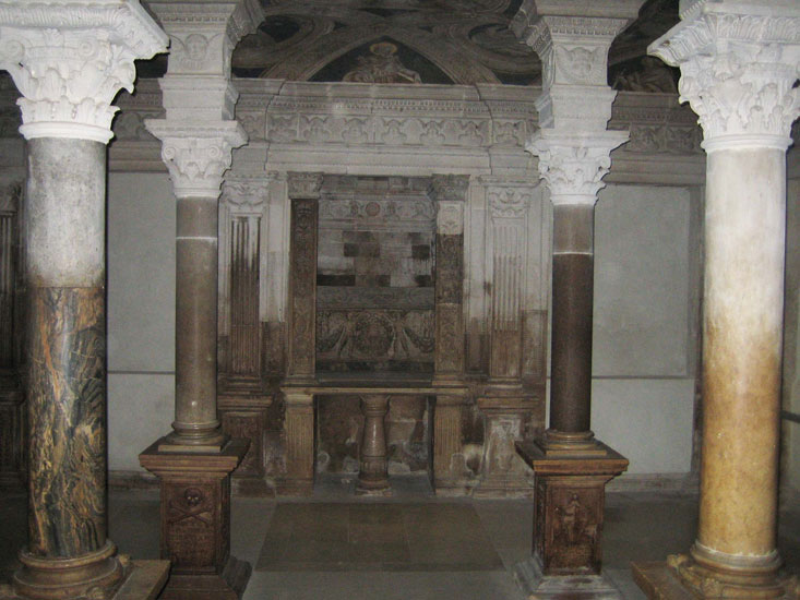
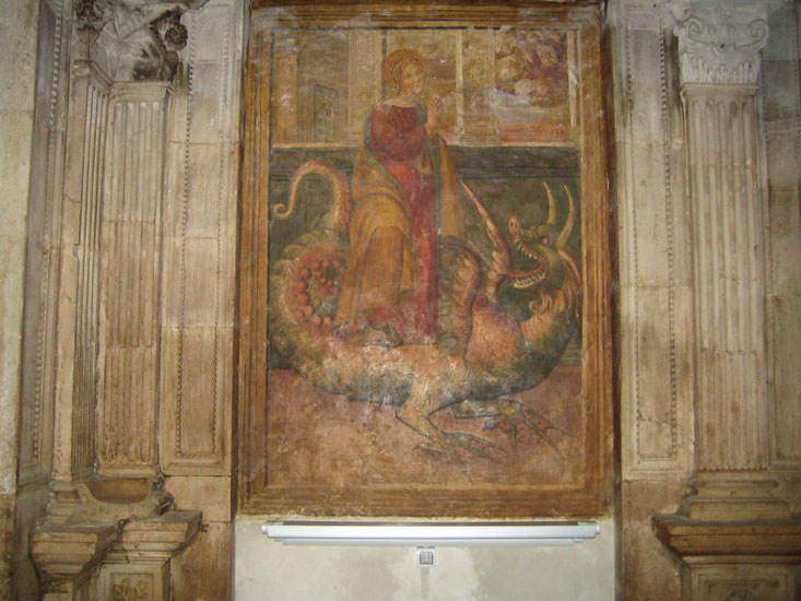
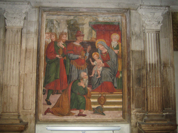
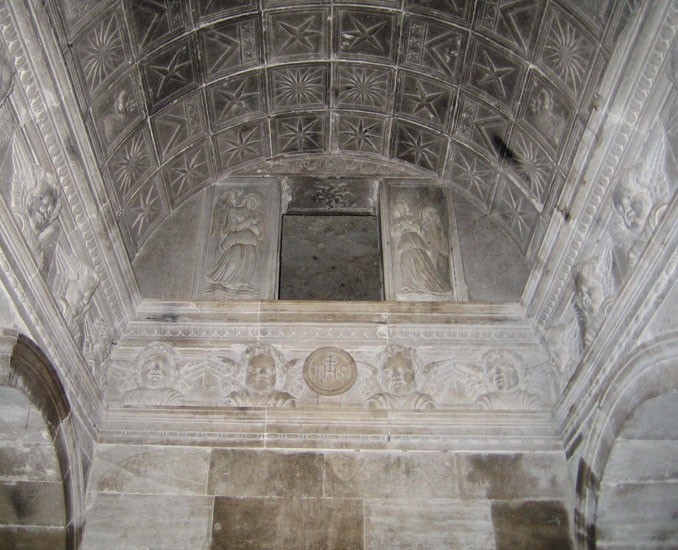
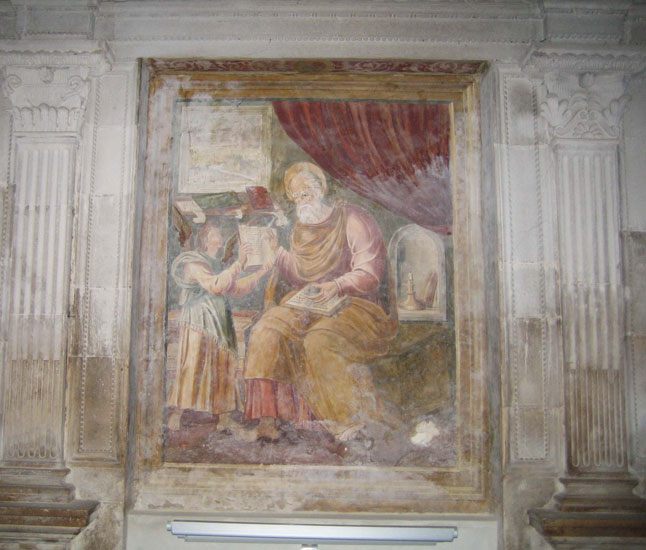
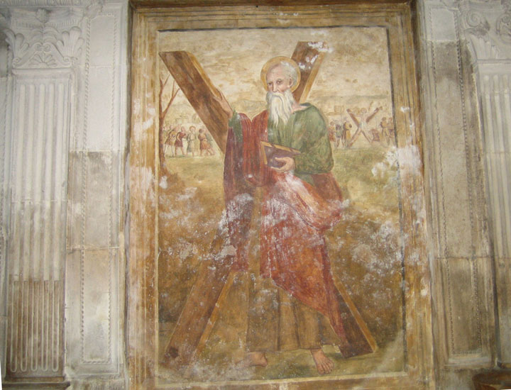
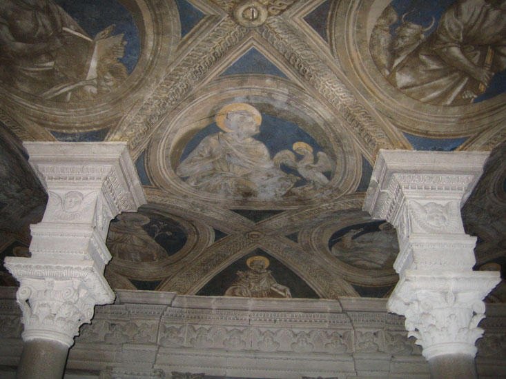
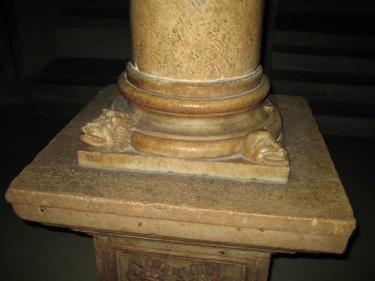
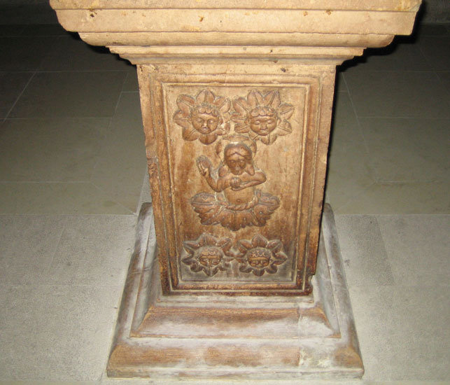
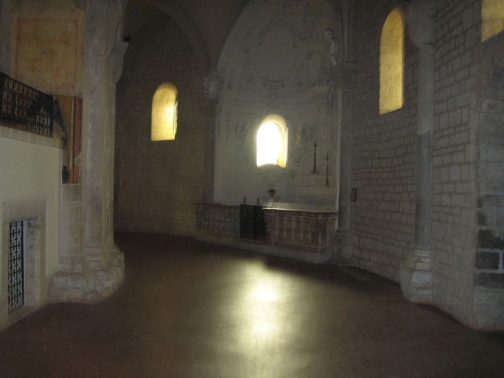
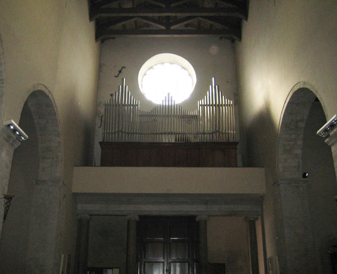
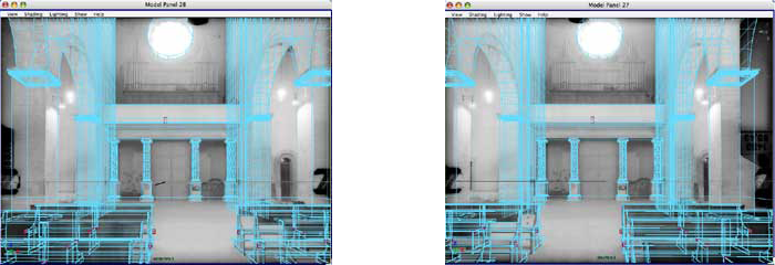
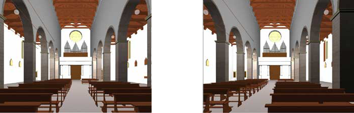
Cathedral of Acerenza (PZ)
Survey of the Photogrammetric Unit of the Urban Police of Bari - 1980


click to enlarge
The Cathedral of Acerenza, taken over byPhotogrammetric unit of the Bari traffic police following the 1980 earthquake, was studied in theA.A. 2003/04 during the Photogrammetric survey of architecture and in theA.A. 2006/07 during the Architecture survey.
Stereometric modeling
stereo observation with crossed visual axes
Shooting station scheme
Photogrammetric archive